There are several methods that can be used to estimate future water demand. This study developed demand projections using equivalent residential connections (ERCs). An ERC is defined as the equivalent water demand for the average residential water connection. The methodology of this approach can be summarized as follows:
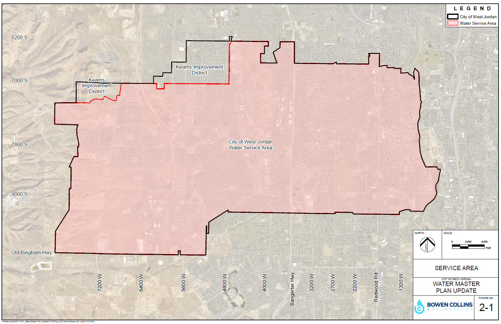
1. Define the service area.
2. Project residential populations for the service area based on the City's land use map and allowable densities for the designated land use types.
3. Following the State guidelines to establish use per ERC, estimate the contribution of equivalent residential connections based on a statistical analysis of existing levels of development and historic water use. This analysis is then used to confirm that use of the sizing requirements provided by the State are acceptable for future planning purposes.
4. Convert projections of equivalent residential connections to water demands based the State's minimum sizing requirements.
5. Adjust projected demands as necessary to account for conservation trends and goals Each step of this process is summarized in the sections below.
There are a number of planning agencies that produce growth estimates covering the area included in the City of West Jordan: the State of Utah Governor's Office of Management and Budget (GOMB), the Kem C. Gardner Policy Institute, and the Wasatch Front Regional Council (WFRC). The first two agencies generally plan on a county or state level. As a result, planning estimates at those scales are often unhelpful for cities because boundaries often do not line up with their service area boundaries. The WFRC does planning on a smaller scale as a result of needing to conduct traffic modeling of future conditions. The WFRC develops residential and employment projections divided into relatively small areas representative of collector roads. These small subareas are called traffic analysis zones (TAZs). As a result of projections at the smaller TAZ level, the WFRC projections are more helpful than State of Utah estimates for projecting rates of growth for population and employment growth for cities and water providers.
Loading...